Wā Hokona Whakamutunga: 2004 12
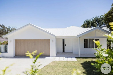
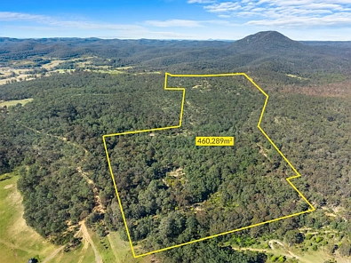
SHANDY LODGE 218 CARROWBROOK RD, MOUNT OLIVE NSW 2330
Ngā Meka Matua

Rohe whenua267300m²

Land Planning / ZoningPrimary Production

Flooding zoneNo

BushfireVegetation Category 3

HeritageNo
whakatau rawa
Ka whakaatu i te awhe whakatau o nāianei me te māia
Nā te Iti o Ngā Tauira Raraunga, Kāore e taea te whakarato Ātautau mō tēnei Whare
Ngā Hokonga Tata
Ngā hokonga tata i roto i te tawhiti kua whakaritea; pātō kia kite i ngā taipitopito
Ngā Rekoata Whare
Rārangi wā o ngā hokonga, rārangi me ngā huringa utu me ngā whakaahua hītori
whanaketanga rawa
Ngā ture whakarōpū, rohe waipuke, tepe teitei/uhi me ngā ratonga


Raraunga Kāwanatanga
CV, rēti, rahi whenua, whakarōpūtanga me ngā taipitopito taitara


Whakatau utu ā-marama me te utu katoa mā te pūtea tāpui, te rēti me te wā
Ngā Mea e Pai Ana Koe
Ngā kōwhiringa whaiaro i runga i tō mahi
-